
 @wxornotBG Facebook
 @wxornotBG Twitter
 @wxornotBG Instagram

Good morning, Kentucky! I hope everyone enjoyed the first taste of Fall yesterday. The good news is that Fall conditions will continue today as our winds remain out of the northeast and dew points stay low. I’ve got all the details below!
Can’t help ‘Fall’ing in love with these dew points…
If you’re like me, you love when the dew point is low and the air is cool; it gives the outdoors that nice crisp feeling. Today won’t be as cool as we’d probably like it, but it will be fairly cool compared to last week. Our high will reach the low-80s with dew points in the 40s! No rain is on the table for today, so get outside and breathe in that crisp Fall air.
Slightly Warmer Tomorrow with a Chance of Rain
I wish today’s conditions planned to stick around, but they don’t. Tomorrow will bring back slightly warmer temperatures in the upper-80s as the wind shifts back to the south. Dew points should hang out in the upper-50s, so it shouldn’t be terribly muggy.
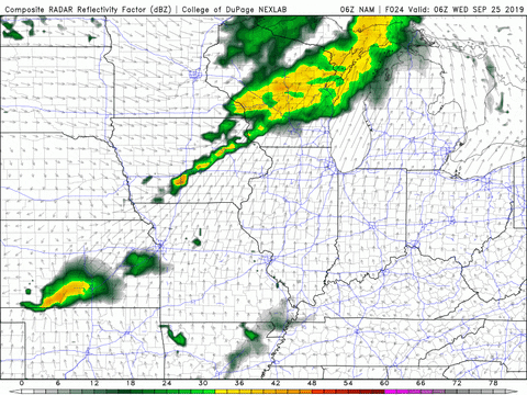
Thunderstorms are a possibility tomorrow night with a greater chance of scattered showers through the overnight hours. As of right now, these showers look to bring minimal measurable precipitation.
Cooler Temps and Showers on Thursday
Any rain we receive tomorrow is ahead of a cold front that will pass over our area on Thursday. With the passing of that cold front, we can expect another potential round of showers around lunchtime on Thursday.
These showers should also result in minimal amounts of measurable precipitation. After those showers, our high temperature will limit itself to the low-80s but the dew point will still be in the mid-60s because of the rain.
That concludes today’s post! Enjoy today’s Fall temperatures and make sure to follow @wxornotBG on Twitter to stay updated on the shower/thunderstorm possibilities for this week. Have a great day!