
 @wxornotBG Facebook
 @wxornotBG Twitter
 @wxornotBG Instagram

Good morning, Kentucky! We’re diving into another hot and muggy episode of summer. Today will remain mostly dry and then storms return on Wednesday. I’ve got all the details below!
Dry Tuesday
We’ll continue our streak of thunderstorm-less weather today. It will be very hot, though, as we climb back to the low-90s. With dew points in the 70s, the heat index will reach the upper-90s. Make sure to stay hydrated and wear sunscreen when spending time outside.

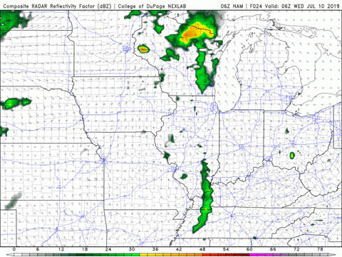
Isolated Showers Possible On Wednesday
Pop-up thunderstorm chances will come back into the forecast by Wednesday afternoon. There will not be ample moisture in the atmosphere for heavy rainfall, but there might be just enough to create some isolated showers across the area.
Temperatures will be much of the same (low-90s) and with dew points remaining high, the heat index will be back up to the upper-90s.
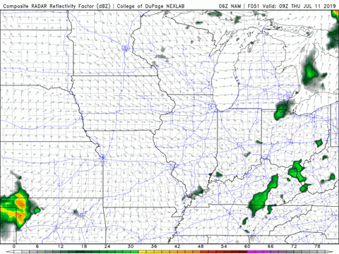
More Scattered Storms On Thursday
Thursday will be fairly similar to Wednesday with high temperatures back in the low-90s and scattered thunderstorm chances in the afternoon.
The air will feel heavy and soupy due to continued high dew points and the overnight low should barely drop below 70°F.
End of the Week/Weekend Outlook
We will return to drier conditions on Friday with high temperatures a few degrees cooler than most of this week (upper-80s). Saturday looks clear as well with highs back in the low-90s. The potential for storm chances will return on Sunday.
That concludes today’s post! Have a great week and remember to follow @wxornotBG on Twitter to stay updated on the thunderstorm chances tomorrow and Thursday. See you next time!