
 @wxornotBG Facebook
 @wxornotBG Twitter
 @wxornotBG Instagram

Good morning, everyone! We made it to the weekend but man oh man is it going to be a cold one. Get ready for a super chilly Saturday and the rain/snow forecast for this coming Monday. I’ve got all the details below!
A Shivering Day Ahead
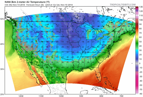
Most of us complain about the heat until the cooler temperatures get here and then we wish it would warm back up a little bit. Today will definitely be one of those days as our high is only expected to reach the upper-30s. If you are headed out today, dress in layers and make sure the kids have a pretty hefty coat. Precipitation is not something we have to worry about today and our skies will be nice and clear. Enjoy the sunshine on this crisp Fall day! The temperature will drop into the mid-20s tonight, so plan accordingly with outdoor pets.

Slightly Warmer Sunday
Sunday will be slightly warmer than today but not by much. The high temperature will reach the upper-40s, which is still pretty chilly. Precipitation will hold off for one more day but that cold front that is bringing the snow that everyone has been talking about is slowly but surely making its way to our area. Cloud cover will increase throughout the day and the low will drop to the mid-20s.

Rainy/Snowy Start To The Week: A Break Down Of The Upcoming System
And now, for the moment you’ve all been waiting for… the first snow forecast of the season. We have a cold front approaching our area that is attached to a low pressure center that will eventually be over the Great Lakes region. Two high pressure systems, one to our west and one to our east, will sandwich the air between them and create a steep pressure gradient. This steep pressure gradient will cause a stronger front to develop and with the amount of moisture that is available in our atmosphere, precipitation will fall. The type and amount depends on the air and ground temperature. It is important to keep in mind that just because a certain amount of snow is expected to fall does not mean that the same amount will accumulate on the ground (ground temperature plays an important role).

As of right now, it looks like Monday will start off with rain and transition into a rain/snow mix in the early evening. The National Weather Service is calling for accumulations between a quarter and half an inch through Monday night. We will keep a close eye on this system as it progresses and keep you updated.

That sums up my forecast for today! Bundle up and keep warm today because it’s definitely going to be a cold one. Make sure to follow @wxornotBG on Facebook and Twitter and stay up to date with information regarding this approaching cold front. Have a great weekend!